


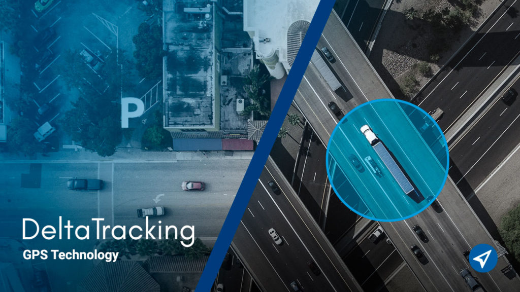
The DeltaTracking platform allows you to create geofences and points of interest to easily control the operations of the vehicles in your fleet.
Here we explain what they are and their differences. As well as the benefits offered by DeltaTracking tools for effective management.
What is a geofence?
It is a barrier or geographical delimitation of an area or path, within a virtual map.
It is used to know when a vehicle in the fleet enters or leaves a certain place. As well as the time spent inside or outside of it.
Two types of geofences can be configured: circular or polygonal. The former, as the name implies, are circular areas used to check entries and exits of inaccurate areas.
On the other hand, the polygonal ones contain points that can be stretched to create irregular shapes, such as warehouses, parking lots, etc.


What is a point of interest?
They are those key locations for a company. In other words, the points that are of special importance and require particular attention in the vehicle tracking process.
In asset monitoring, they are normally used to define a place through a point, and to be able to visualize it on a virtual map with an icon.
To locate a point of interest on a map, you need the location coordinates (latitude and longitude) and a name or description.
These points help in the management of visited places. By means of alerts they allow to know when a unit of the fleet is near one of these points. They are usually common stopping places for vehicles.
A point of interest can be, for example, the address of the domicile of customers, suppliers, offices, gas stations, hotels and other necessary stops or important places for the company.

Differences between geofences and points of interest
In fleet management, points of interest are normally used to configure clients, necessary stops, etc. At these points the proximity of the vehicle is detected, in order to be notified when it is near the place.
For its part, a geofence is a virtual perimeter that is used to define areas such as warehouses, parking lots, etc. In these places it is necessary to know precisely the entry and exit of the vehicles in the fleet.
Contact us:
Benefits of DeltaTracking tools
The benefits of DeltaTracking tools include:
- Easy to add points of interest, various icons and notifications in real time about them.
- Possibility of having an unlimited number of geofences and points of interest, which is a competitive advantage.
- Import of geofences or points of interest, which allows the reuse of points of interest from other tools.
- Simple to use tools. You just have to locate on the map the point where you want to create the geofence or point of interest and configure the name, color or icon.
At DeltaTracking we provide guaranteed and constant support and innovation, to offer tools with new features always.
We maintain a self-help segment to guide you in the creation of these points, which is already quite intuitive.
We also have a helpdesk that allows us to obtain timely help from our technical team.
For more information on our tools, contact us and we will provide you with the advice you need.